Vinna við nýjar heimasíður Umhverfis- og orkustofnunar og Náttúruverndarstofnunar er í gangi. Heimasíða Umhverfisstofnunar er virk á meðan vinnunni stendur. Information in English
About the island

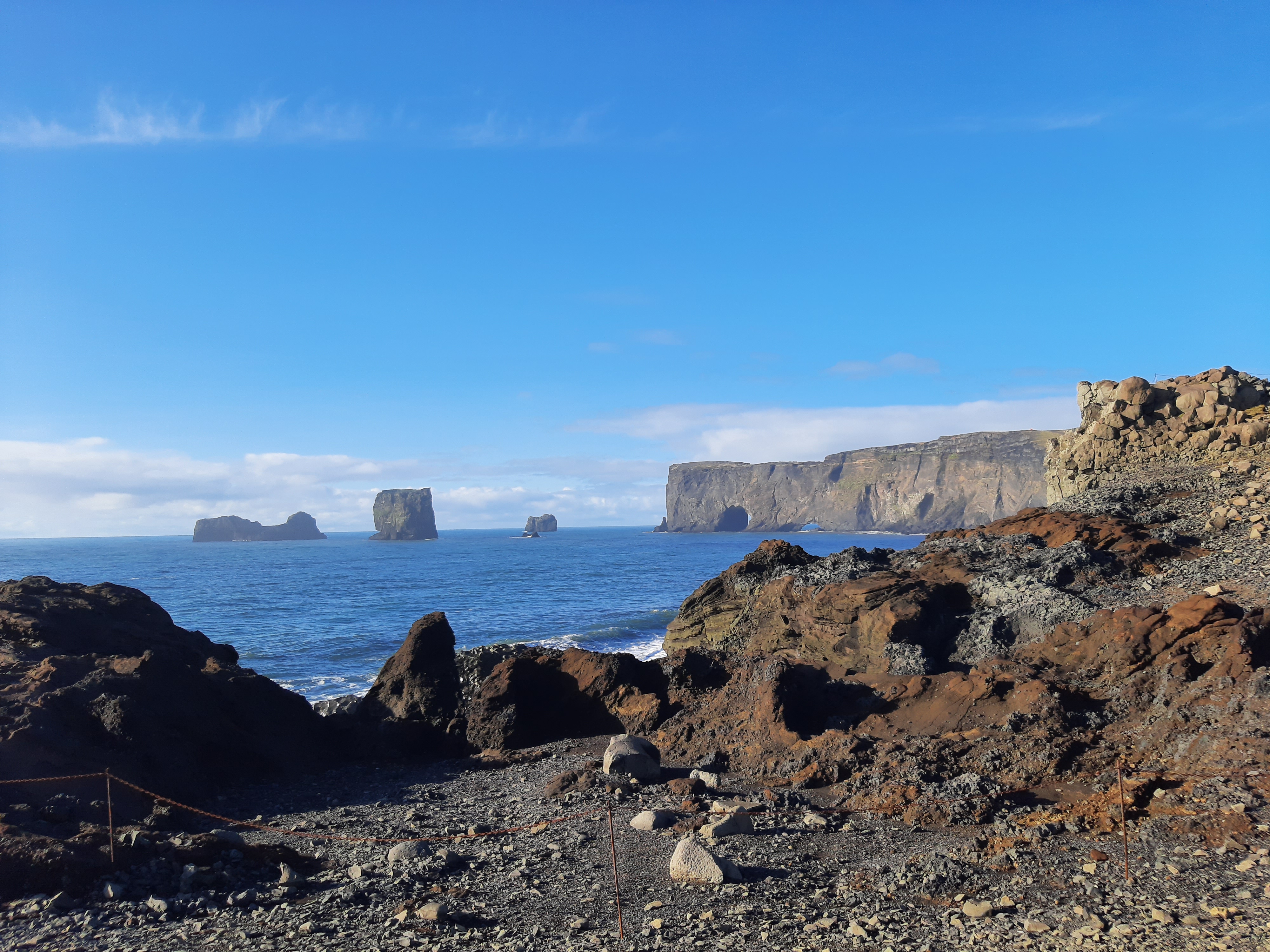
Dyrhólaey is a 120 m high tuya that was formed in at least two eruptions around 100,000 years ago. The west side of the island (Háey) was formed in a submarine eruption and is mostly made up of loose eruption materials and bonded ash that has turned into hard tuffs. The east side (Lágey) is made up of tuffs, pillow lava and cubed and columnar basalt. Lágey’s geology points to an active effusive eruption that built up thick lava layers. Evidence of the effusive eruption is apparent in the columnar rock by Bolabás and in other areas. It is believed that the formation of Dyrhólaey was similar to the formation of Surtsey and that in the future, the appearance of Surtsey will develop in a similar direction as Dyrhólaey (sea cliffs surrounded by stacks and skerries). Dyrhólaey is named after the 20 m high and 50 m wide lava arch that is visible when approaching the butte from the west and east and looks like an impressive door in the steep cliff.

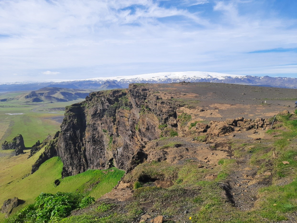
From Dyrhólaey, there is a magnificent view over Mýrdalsjökull, Eyjafjallajökull, Reynisfjara and the extensive coastline of South Iceland. The area offers a unique experience where you can see a coastal area that models its appearance on a previous culture, unspoiled nature and birdlife. It is easy to lose track of time when watching the magnificent surf hit the skerries, stacks and sea cliffs and observing the birds hovering around the bird cliffs. Dyrhólaey was protected in 1978 by the Icelandic government for its great natural beauty, its birdlife and to maintain this popular tourist destination. The reserve covers an area of 147.2 ha. A ranger resides in the area year-round and handles the infrastructure, nature preservation and visitor education.