Vinna við nýjar heimasíður Umhverfis- og orkustofnunar og Náttúruverndarstofnunar er í gangi. Heimasíða Umhverfisstofnunar er virk á meðan vinnunni stendur. Information in English
General information

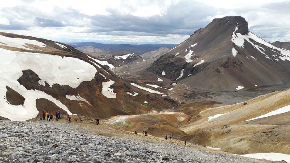
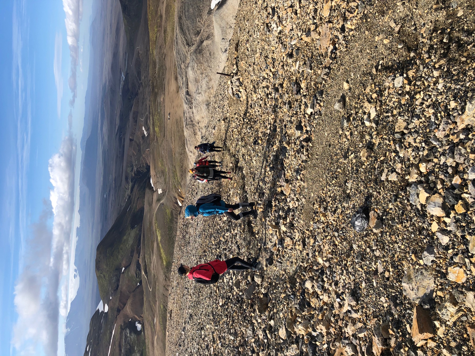
Kerlingarfjöll is a large mountain range in the central highlands of Iceland, just south of Hofsjökull. The whole area was protected as a nature reserve in summer 2020. The aim of the protection is to preserve geological formations, landscape, wilderness and the appearance of the area, as well as to enhance Kerlingarfjöll as an outdoor activity area and promote good conduct and improved access to the area. Kerlingarfjöll has been one of the most popular outdoor activity areas in the central highlands of Iceland for years.

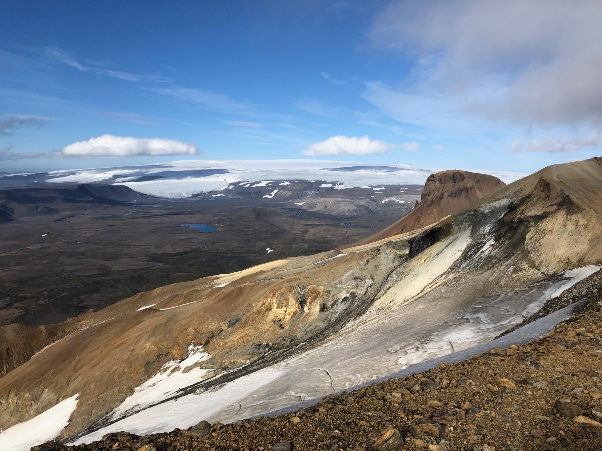
The mountains rise up high from the otherwise vast and fairly level sirrounding highland plateau and are a distinguishing feature of the landscape when driving over Kjölur (road F35). The wilderness around the mountains is generally around 600–700 meters above sea level, while the highest peaks of Kerlingarfjöll rise steeply to over 1400 meters. The highest is Snækollur, 1488 meters high. In total, the mountain range covers approx. 140 square kilometers, but the protected area is 367 square kilometers. The rivers Ásgarðsá and Kisa flow from the mountains and divide them into two parts, the East and West Mountains. The highest mountains in the area are in the East Mountains – Snækollur (1488 m), Fannborg (1458 m) and Loðmundur (1429 m). The West Mountains are slightly lower, and they include Höttur (1312 m), Mænir (1357 m) and Ögmundur (1357 m).

The area has all the characteristics of a central volcano that is nearly unspoiled and has a high protection value. Within Kerlingarfjöll is the second largest rhyolite area in Iceland. All of the rhyolite was formed in sub-glacial eruptions, and some of the mountains are rhyolite mesas, a particularly rare geological formation worldwide. The rhyolite formations in the mountains form a whole, are rare worldwide and unspoiled and therefore considered to have a very high protection value.

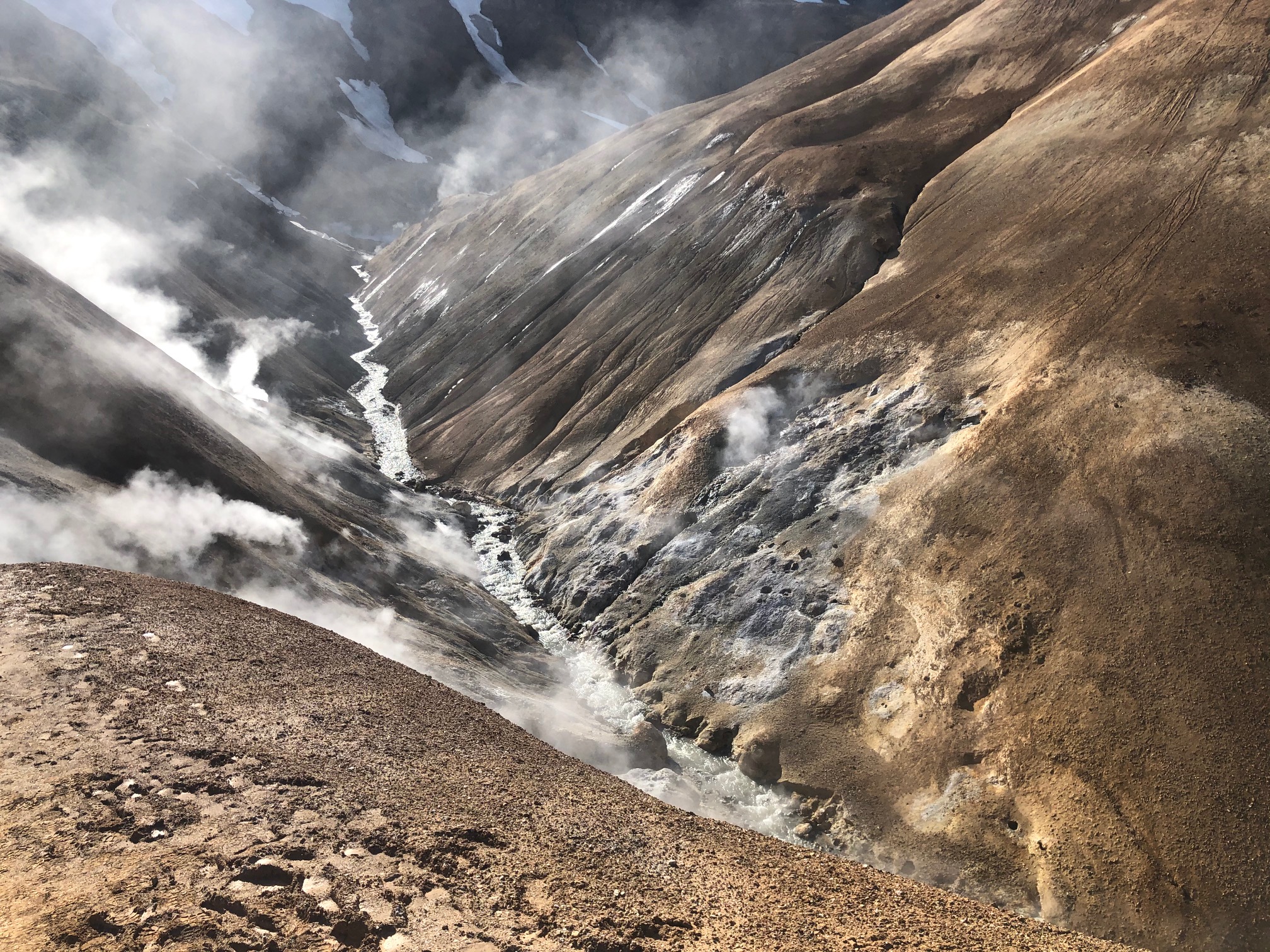
One of the most diverse hot springs areas in Iceland is found in Kerlingarfjöll. There are three powerful hot spring areas – Neðri-Hveradalir, Efri-Hveradalir and Hverabotnar. The geothermal activity in Kerlingarfjöll is considered very high, and it’s rare to find such density of pools, hot springs and fumaroles. Overall, the geothermal area in Kerlingarfjöll covers over 7 square kilometers on the surface. The geothermal areas have a very high protection value due to their rarity and scientific and educational value.
.jpg)